Seoul Subway Map Guide for Tourists (2026 Updated Map)
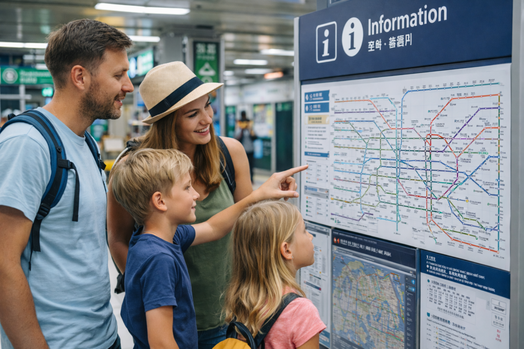
The Seoul subway system is one of the most efficient public transportation networks in the world. For tourists visiting South Korea, understanding the subway map is the key to traveling quickly and cheaply around the city.
Seoul has more than 20 subway lines connecting major attractions, shopping districts, and airports. Although the map may look complicated at first, it becomes easy to understand once you know the basic structure.
This guide explains how to read the Seoul subway map and how tourists can use it to navigate the city easily.
If you are new to transportation in Korea, you may also want to read our Transportation in Korea: Complete Guide for Tourists.
Understanding the Seoul Subway Map
The Seoul subway map uses different colors to represent each subway line. Every line has a number and a specific color that helps passengers identify the route quickly.
For example:
Line 1 – Dark Blue
Line 2 – Green
Line 3 – Orange
Line 4 – Light Blue
These lines connect many of the most popular tourist areas including Hongdae, Myeongdong, Gangnam, and Dongdaemun.
Because of this color system, tourists can follow subway routes easily even if they do not speak Korean.
To use subway maps, live navigation, and transfer apps smoothly in Seoul, it helps to have mobile data from the moment you arrive.
Check South Korea eSIM options with Saily →

Major Seoul Subway Lines Explained
Seoul’s subway system includes many lines, but most visitors mainly use Lines 1 through 9, the Gyeongui–Jungang Line, and the Airport Railroad (AREX).
Each line connects major tourist districts, shopping areas, and transportation hubs. Learning the key stations will make traveling around Seoul much easier.
Line 1 – Dark Blue Line
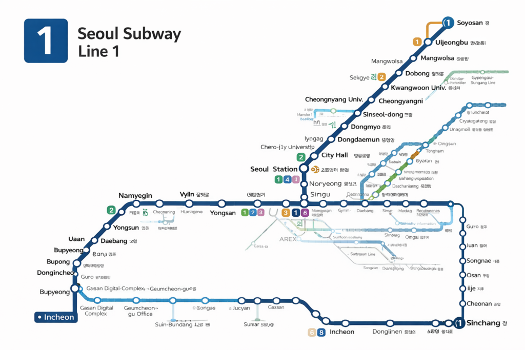
Line 1 is one of the oldest subway lines in Seoul and connects central Seoul with several surrounding cities.
Important stations include Seoul Station, City Hall, Jonggak, Jongno 3-ga, and Dongdaemun.
These stations provide access to historic areas, traditional markets, and cultural attractions.
Tourists often use this line when exploring central Seoul’s historic districts.
Line 2 – Green Line (Circular Line)
Line 2 is the most frequently used subway line for tourists.
It forms a large circular route around central Seoul and connects many of the city’s busiest areas.
Important stations include Hongik University (Hongdae), Gangnam, City Hall, Jamsil, Seongsu, and Seoul National University.
Because of its circular route, this line is often the easiest way for visitors to travel between major neighborhoods.
Full Station List – Line 2 Circular Route
City Hall
Euljiro 1-ga
Euljiro 3-ga
Euljiro 4-ga
Dongdaemun History & Culture Park
Sindang
Sangwangsimni
Wangsimni
Hanyang Univ.
Ttukseom
Seongsu
Konkuk Univ.
Guui
Gangbyeon
Jamsilnaru
Jamsil
Sports Complex
Samseong
Seolleung
Yeoksam
Gangnam
Seocho
Bangbae
Sadang
Nakseongdae
Seoul Nat’l Univ.
Bongcheon
Sillim
Sindaebang
Guro Digital Complex
Daerim
Sindorim
Munrae
Yeongdeungpo-gu Office
Dangsan
Hapjeong
Hongik Univ.
Sinchon
Ewha Womans Univ.
Ahyeon
Chungjeongno
City Hall
Seongsu Branch Line
Seongsu
Yongdap
Sindap
Sinseol-dong
Popular Tourist Stations on Line 2
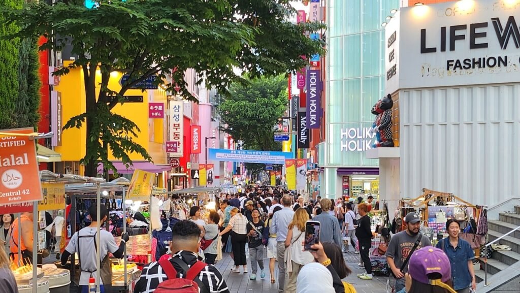
Hongik Univ. (Hongdae) – nightlife, street performances, cafes
City Hall – near Deoksugung Palace and Myeongdong
Dongdaemun History & Culture Park – shopping and Dongdaemun Design Plaza
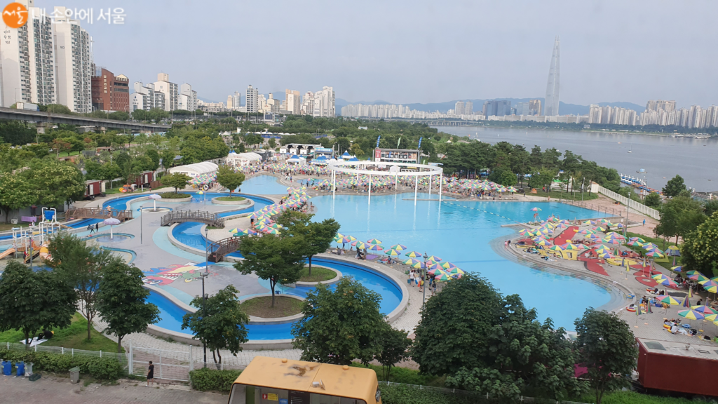
Jamsil – Lotte World Tower and Seokchon Lake
Samseong – COEX Mall and Starfield Library
Gangnam – famous shopping and nightlife district
Line 3 – Orange Line
Line 3 connects northwestern Seoul with southern districts and passes through several cultural and historical areas.
Important stations include Gyeongbokgung, Anguk, Dongguk University, Apgujeong, and Express Bus Terminal.
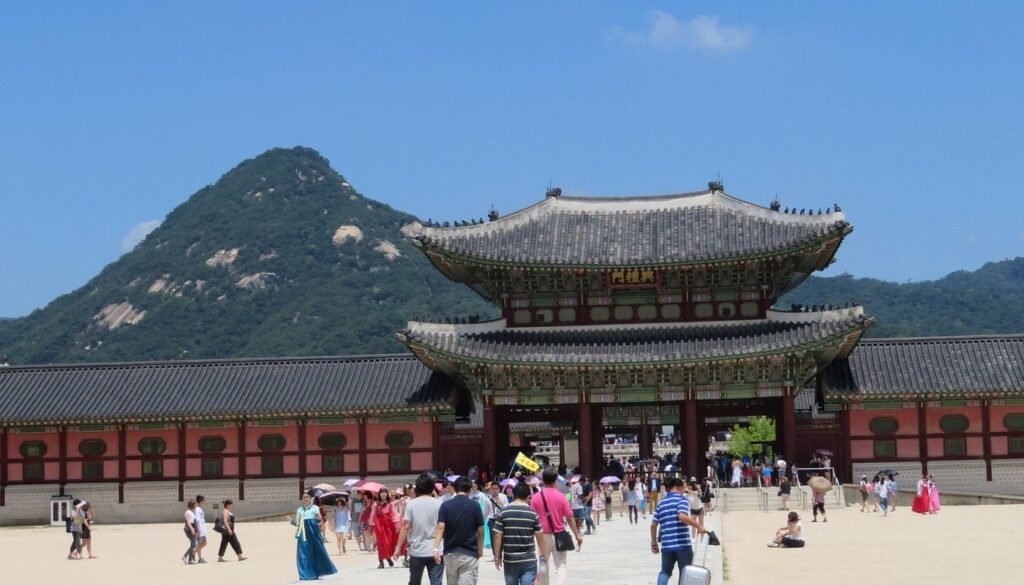
Tourists often use this line to visit Gyeongbokgung Palace, Bukchon Hanok Village, and Insadong.
Full Station List – Line 3
Daehwa
Juyeop
Jeongbalsan
Madu
Baekseok
Daegok
Hwajeong
Wondang
Samsong
Jichuk
Gupabal
Yeonsinnae
Bulgwang
Nokbeon
Hongje
Muakjae
Dongnimmun
Gyeongbokgung
Anguk
Jongno 3-ga
Euljiro 3-ga
Chungmuro
Dongguk Univ.
Yaksu
Geumho
Oksu
Apgujeong
Sinsa
Jamwon
Express Bus Terminal
Nambu Bus Terminal
Yangjae
Maebong
Dogok
Daechi
Hangnyeoul
Daecheong
Irwon
Suseo
Garak Market
Police Hospital
Ogeum
Popular Tourist Stations on Line 3
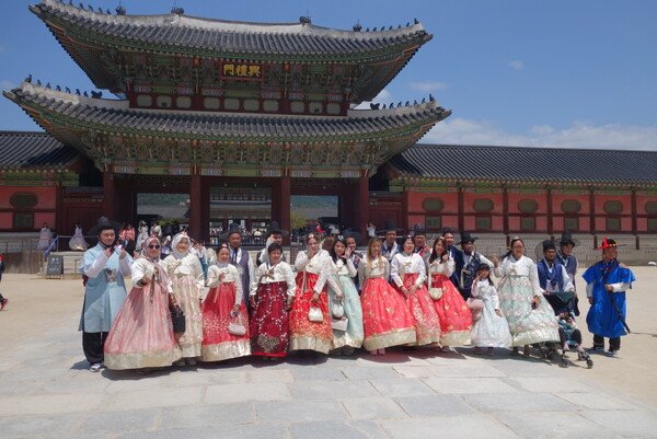
Gyeongbokgung – Gyeongbokgung Palace
Anguk – Bukchon Hanok Village, Insadong
Jongno 3-ga – traditional markets and cultural sites
Apgujeong – luxury shopping and cafes
Express Bus Terminal – Shinsegae Department Store and shopping malls
Line 3 Travel Tip
Many cultural and historical attractions in Seoul are located along Line 3, making it one of the best subway lines for travelers interested in Korean history and traditional neighborhoods.
Line 4 – Light Blue Line
Line 4 is one of the most convenient lines for tourists.
Important stations include Seoul Station, Myeongdong, Dongdaemun History & Culture Park, Hyehwa, and Sadang.
This line is commonly used when traveling between Myeongdong shopping street and Dongdaemun fashion district.
Full Station List – Line 4
Danggogae
Sanggye
Nowon
Chang-dong
Ssangmun
Suyu
Mia
Miasageori
Gireum
Sungshin Women’s Univ.
Hansung Univ.
Hyehwa
Dongdaemun
Dongdaemun History & Culture Park
Chungmuro
Myeongdong
Hoehyeon
Seoul Station
Sookmyung Women’s Univ.
Samgakji
Sinyongsan
Ichon
Dongjak
Isu
Sadang
Namtaeryeong
Seonbawi
Seoul Grand Park
Gwacheon
Government Complex Gwacheon
Indeogwon
Pyeongchon
Beomgye
Geumjeong
Sanbon
Surisan
Daeyami
Banwol
Sangnoksu
Hanyang Univ. at Ansan
Jungang
Gojan
Choji
Ansan
Singil Oncheon
Jeongwang
Oido
Popular Tourist Stations on Line 4
Hyehwa – Daehangno theater district
Dongdaemun – Dongdaemun shopping area
Dongdaemun History & Culture Park – DDP and night markets
Myeongdong – famous shopping and street food area
Seoul Station – airport train and KTX hub
Samgakji – War Memorial of Korea
Line 5 – Purple Line
Line 5 runs east to west across Seoul and crosses the Han River.
Important stations include Gwanghwamun, Yeouido, Gimpo Airport, and Olympic Park.
This line is useful for reaching both historic landmarks and modern business districts.
Full Station List – Line 5
Banghwa
Gaehwa Mountain
Gimpo Airport
Songjeong
Magok
Balsan
Ujangsan
Hwagok
Kkachisan
Sinjeong
Mok-dong
Omokgyo
Yangpyeong
Yeongdeungpo-gu Office
Yeouido
Yeouinaru
Mapo
Gongdeok
Aeogae
Chungjeongno
Seodaemun
Gwanghwamun
Jongno 3-ga
Euljiro 4-ga
Dongdaemun History & Culture Park
Cheonggu
Sindang
Haengdang
Wangsimni
Majang
Dapsimni
Janghanpyeong
Gunja
Achasan
Gwangnaru
Cheonho
Gangdong
Gil-dong
Godeok
Sangil-dong
Branch Line
Gangdong
Dunchon-dong
Olympic Park
Bangi
Ogeum
Geoyeo
Macheon
Popular Tourist Stations on Line 5
Gimpo Airport – domestic and international airport connections
Yeouido – Han River park and financial district
Gwanghwamun – Gyeongbokgung Palace and major government area
Jongno 3-ga – traditional markets and cultural sites
Dongdaemun History & Culture Park – Dongdaemun shopping district
Olympic Park – large park and concert venue
Line 6 – Brown Line
Line 6 connects several trendy neighborhoods popular with international travelers.
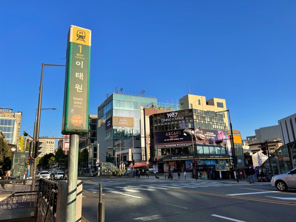
Important stations include Itaewon, Hapjeong, Mangwon, and World Cup Stadium.
Visitors often use this line when exploring Itaewon or the Hongdae area.
Full Station List – Line 6
Eungam
Saetjeol
Jeungsan
Digital Media City
World Cup Stadium
Mapo-gu Office
Mangwon
Hapjeong
Sangsu
Gwangheungchang
Daeheung
Gongdeok
Hyochang Park
Samgakji
Itaewon
Hangangjin
Beotigogae
Yaksu
Cheonggu
Sindang
Dongmyo
Changsin
Bomun
Anam
Korea Univ.
Wolgok
Sangwolgok
Dolgoji
Seokgye
Taereung Entrance
Hwarangdae
Bonghwasan
Popular Tourist Stations on Line 6
Digital Media City – broadcasting studios and modern media district
World Cup Stadium – Seoul World Cup Stadium and large parks
Hapjeong – trendy cafes and access to Hongdae
Samgakji – near the War Memorial of Korea
Itaewon – international restaurants and nightlife
Hangangjin – Leeum Samsung Museum of Art
Line 7 – Olive Line
Line 7 connects northeastern and southern districts of Seoul.
Important stations include Konkuk University, Cheongdam, and Express Bus Terminal.
This line helps travelers move between northern and southern parts of the city.
Full Station List – Line 7
Jangam
Dobongsan
Suraksan
Madeul
Nowon
Junggye
Hagye
Gongneung
Taereung Entrance
Meokgol
Jungnang
Sagajeong
Yongmasan
Myeonmok
Sangbong
Jungnang-gu Office
Seongnae
Gunja
Children’s Grand Park
Konkuk Univ.
Ttukseom Resort
Cheongdam
Gangnam-gu Office
Hakdong
Nonhyeon
Banpo
Express Bus Terminal
Naebang
Isu
Namseong
Soongsil Univ.
Sangdo
Jangseungbaegi
Sindaebangsamgeori
Boramae
Shin Pung
Daerim
Namguro
Gasan Digital Complex
Cheolsan
Gwangmyeong Sageori
Cheonwang
Onsu
(Incheon Extension)
Kkachiul
Bucheon Stadium
Chunui
Sinjung-dong
Bucheon City Hall
Sang-dong
Sam-san Gymnasium
Gulpocheon
Bupyeong-gu Office
Bupyeong Market
Bupyeong
Dongsu
Incheon City Hall
Arts Center
Seokcheon Sageori
Namdong-gu Office
Hogupo
Nonhyeon
Soraepogu
Wolgot
Popular Tourist Stations on Line 7
Konkuk Univ. – shopping streets and cafes near Kondae
Ttukseom Resort – Han River park and summer festivals
Cheongdam – luxury shopping and fashion district
Gangnam-gu Office – access to Gangnam area
Express Bus Terminal – large underground shopping mall
Gasan Digital Complex – outlet shopping malls
Line 8 – Pink Line
Line 8 mainly serves southeastern Seoul.
Important stations include Jamsil and Munjeong, which are close to Lotte World Tower and Lotte World Mall.
Although tourists use this line less frequently, it is helpful for visiting the Jamsil area.
Full Station List – Line 8
Amsa
Cheonho
Gangdong-gu Office
Mongchontoseong
Jamsil
Seokchon
Songpa
Garak Market
Munjeong
Jangji
Bokjeong
Namhansanseong
Sanjeong
Moran
Popular Tourist Stations on Line 8
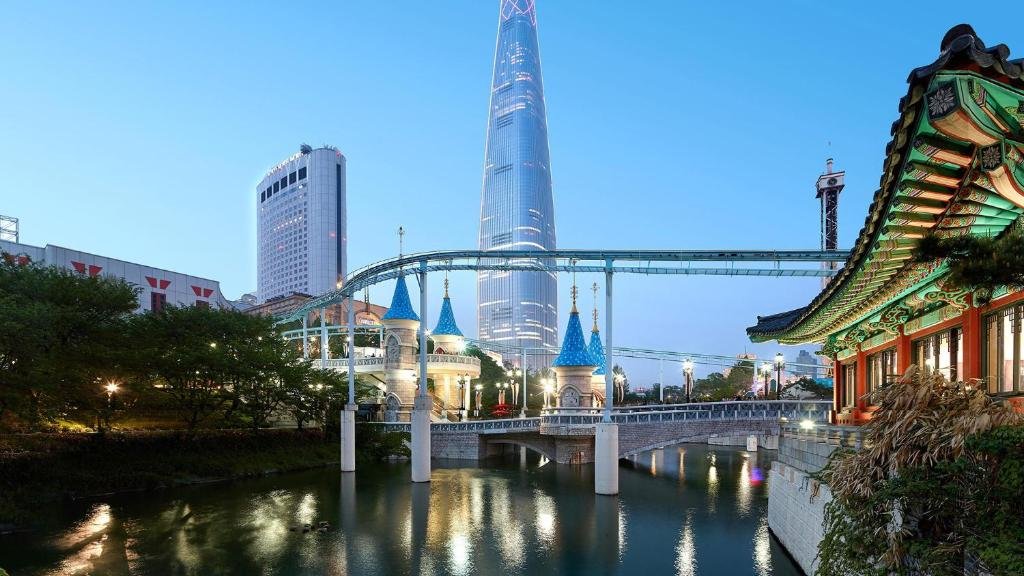
Jamsil – Lotte World Tower, Lotte World Mall, and Seokchon Lake
Mongchontoseong – Olympic Park entrance
Seokchon – Seokchon Lake and seasonal cherry blossoms
Garak Market – one of Seoul’s largest wholesale food markets
Line 9 – Gold Line
Line 9 is one of the newest subway lines and includes express trains, which reduce travel time.
Important stations include Gimpo Airport, Yeouido, Gangnam, and Bongeunsa near COEX Mall.
This line provides fast travel between western Seoul and the Gangnam district.
Full Station List – Line 9
Gaehwa
Gimpo Airport
Airport Market
Magoknaru
Yangcheon Hyanggyo
Gayang
Jeungmi
Deungchon
Yeomchang
Sinmokdong
Seonyudo
Dangsan
National Assembly
Yeouido
Saetgang
Nodeul
Heukseok
Dongjak
Gubanpo
Sinbanpo
Express Bus Terminal
Sapyeong
Sinnonhyeon
Eonju
Seonjeongneung
Samseong Jungang
Bongeunsa
Sports Complex
Samjeon
Seokchon Gobun
Seokchon
Songpanaru
Hanseong Baekje
Olympic Park
Dungchon Oryun
Olympic Park (east)
Bangi
Ogeum
Gaerong
Geoyeo
Macheon
VHS Medical Center
Express Train Service on Line 9
Line 9 offers Express trains, which skip several stations and reduce travel time.
Typical express stops include:
Gimpo Airport
Magoknaru
Gayang
Dangsan
Yeouido
Nodeul
Dongjak
Express Bus Terminal
Sinnonhyeon
Seonjeongneung
Bongeunsa
Sports Complex
Olympic Park
VHS Medical Center
Express trains are especially useful for travelers going between Gimpo Airport and Gangnam.
Popular Tourist Stations on Line 9
Gimpo Airport – airport connection for domestic and international flights
Yeouido – Han River park and financial district
Express Bus Terminal – large underground shopping mall
Sinnonhyeon – access to Gangnam shopping and nightlife
Bongeunsa – Bongeunsa Temple and COEX area
Olympic Park – large park and event venue
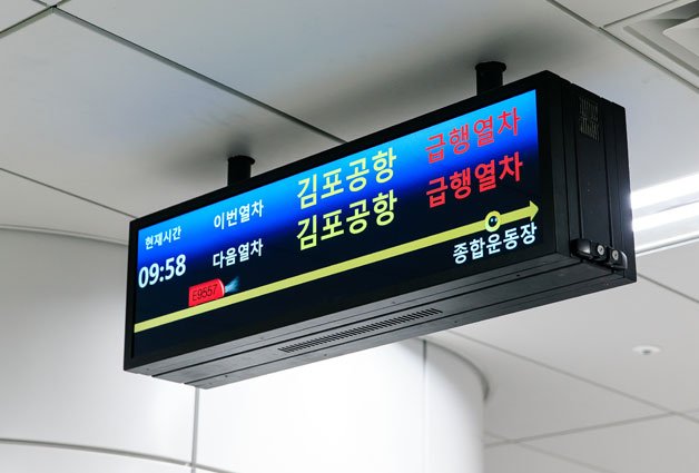
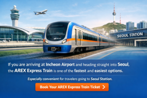
Airport Railroad (AREX)
The Airport Railroad Express (AREX) connects Incheon International Airport and Seoul Station.
Stops include Incheon Airport Terminal 1, Terminal 2, Hongdae, and Seoul Station.
Many travelers use this train immediately after arriving in Korea.
If you are arriving in Korea, you can read our guide How to Get from Incheon Airport to Seoul (2026 Guide).
Full Station List – AREX
Seoul Station
Gongdeok
Hongik Univ.
Digital Media City
Magoknaru
Gimpo Airport
Gyeyang
Geomam
Cheongna International City
Yeongjong
Unseo
Incheon International Airport Terminal 1
Incheon International Airport Terminal 2
Popular Tourist Stations
Seoul Station – main railway hub with KTX trains
Hongik Univ. – access to the Hongdae nightlife and cafe district
Gimpo Airport – domestic flights and transfer to Line 9
Incheon Airport Terminal 1 – main international terminal
Incheon Airport Terminal 2 – terminal used by Korean Air and major airlines
Express Train (Non-Stop Service)
AREX Express trains run directly between:
Seoul Station
↓
Incheon International Airport Terminal 1
↓
Incheon International Airport Terminal 2
Travel time is approximately 43 minutes.
If you are arriving at Incheon Airport and heading straight into Seoul, the AREX Express Train is one of the fastest and easiest options. It is especially convenient for travelers going to Seoul Station before transferring to the subway.
Book Your AREX Express Train Ticket →
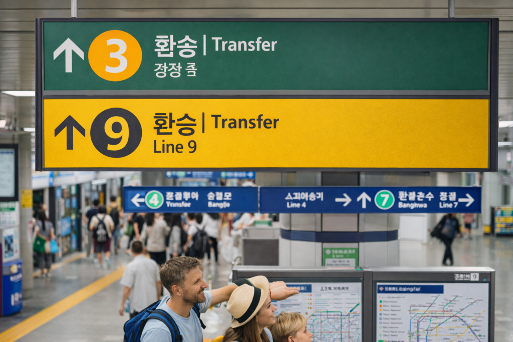
Seoul Subway Transfer Stations Guide
Seoul has one of the most efficient subway systems in the world.
Many stations serve as major transfer hubs, allowing travelers to move easily between multiple subway lines and transportation options.
Understanding these transfer stations can make navigating Seoul much easier for visitors.
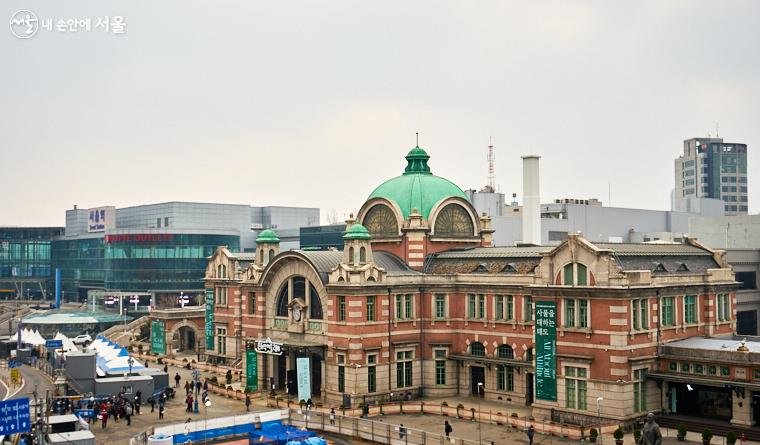
Seoul Station
Transfer Lines
- Line 1
- Line 4
- AREX (Airport Railroad)
- KTX High-Speed Train
Why It Matters
Seoul Station is the main railway hub of South Korea.
Travelers can connect here to:
- Airport Railroad (AREX)
- KTX trains to other cities
- Multiple subway lines
City Hall
Transfer Lines
- Line 1
- Line 2
Nearby Attractions
- Deoksugung Palace
- Seoul Plaza
- Myeongdong shopping district
City Hall is located in the historic center of Seoul and provides easy access to many tourist attractions.
Hongik University (Hongdae)
Transfer Lines
- Line 2
- Airport Railroad (AREX)
- Gyeongui–Jungang Line
Why It’s Popular
Hongdae is one of Seoul’s most vibrant districts known for:
- nightlife
- street performances
- cafes and shopping streets
Gangnam
Transfer Lines
- Line 2
- Shinbundang Line
Highlights
Gangnam is one of the most famous districts in Seoul and a major business and shopping area.
Nearby attractions include:
- COEX Mall
- Starfield Library
- Gangnam shopping streets
Express Bus Terminal
Transfer Lines
- Line 3
- Line 7
- Line 9
Why Travelers Visit
This station connects several subway lines and is home to the largest underground shopping mall in Seoul.
Wangsimni
Transfer Lines
- Line 2
- Line 5
- Bundang Line
- Gyeongui–Jungang Line
Importance
Wangsimni is a major transfer hub in eastern Seoul, connecting several subway and commuter rail lines.
Travel Tip for Visitors
Many transfer stations in Seoul are large underground complexes, but signs are clearly marked in English, Korean, Chinese, and Japanese, making it easier for international visitors to navigate the system.
Most subway transfers usually take 3–8 minutes of walking inside the station, depending on the station size.
If this is your first time using the Seoul subway system, it may be helpful to read our detailed guide on how to use the subway in Seoul.
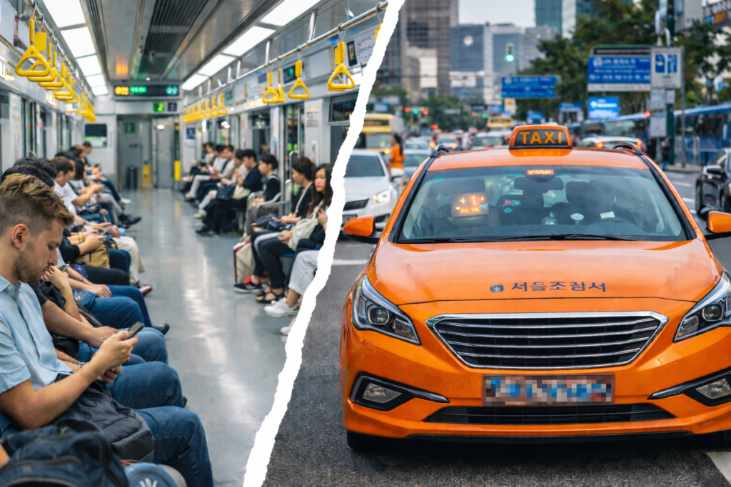
Many travelers also rely on public transportation apps in Korea to find the best routes while exploring Seoul.
Most public transportation in Seoul can be paid with a T-Money card, which works on subways, buses, and even some taxis.
If you want to use the Seoul subway more easily, getting a T-Money card before or right after arrival can save time.
Grab a T-Money card option here →

Final Thoughts
Although the Seoul subway map may seem complex at first, it becomes very easy to understand after a short time.
With color-coded lines, clear station names, and helpful navigation apps, tourists can travel around Seoul quickly and efficiently.
Learning how to read the subway map will make your trip much smoother and help you explore the city like a local.